Google Earth Engine Applications
A topical collection in Remote Sensing (ISSN 2072-4292).
Viewed by 978539Editors
Interests: environmental modelling; spatial ecology; climate change impacts; remote sensing; GIS; spatial modelling
Special Issues, Collections and Topics in MDPI journals
Interests: remote sensing; land use; environment; vegetation; hyperspectral remote sensing; ecosystem ecology; spatial analysis; climate change impact analysist; vegetation mapping
Special Issues, Collections and Topics in MDPI journals
Topical Collection Information
Dear Colleagues,
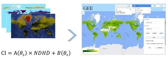
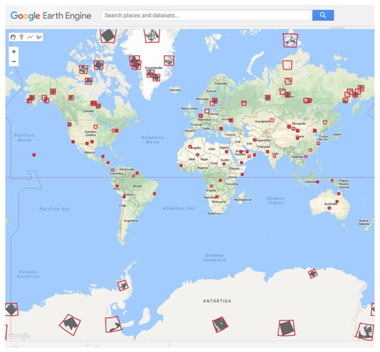
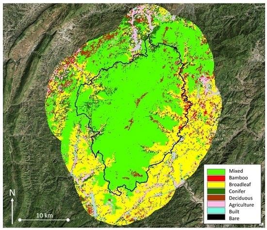
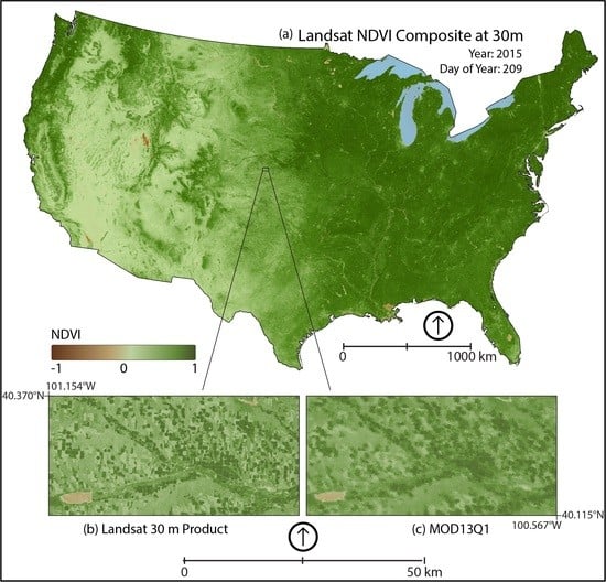
The Google Earth Engine (GEE) platform contains petabyte-scale data for scientific analysis and visualization. After the Landsat image series were made freely available in 2008, Google consolidated this very large and useful data set and linked it to its cloud computing resources to make available to the scientific community one of the largest datasets for studying the earth’s resources. GEE now includes satellite datasets from a number of other platforms, as well as many vector-based datasets.
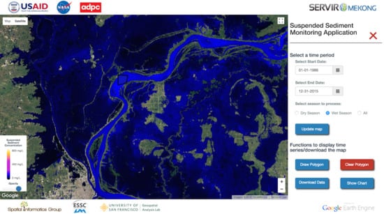
The easily accessible and user-friendly front-end provides a convenient environment for interactive data and algorithm development. Users are also able to add and curate their own data and collections, while using Google’s cloud resources to undertake all the processing. The end result is that this now allows scientists, independent researchers, hobbyists and nations to mine this massive warehouse of data for change detection, map trends and quantify resources on the Earth's surface like never before. One does not need large processing powers of the latest computers or the latest software, meaning that resource poor researchers in the poorest nations of the world have the same ability to undertake analysis as those in the most advanced nations.
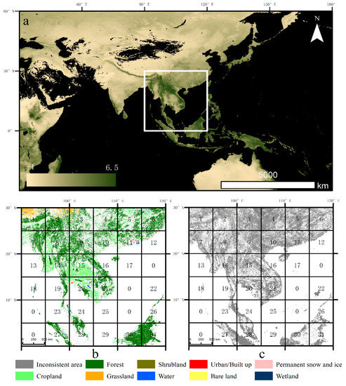
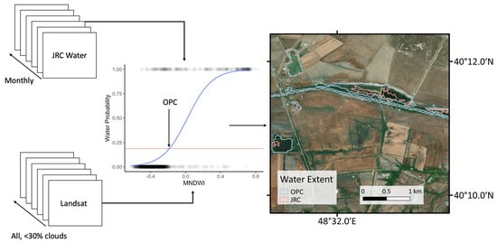
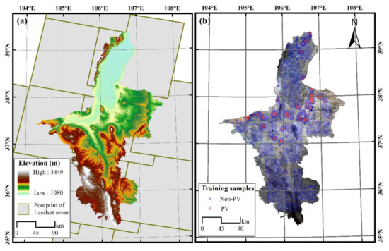
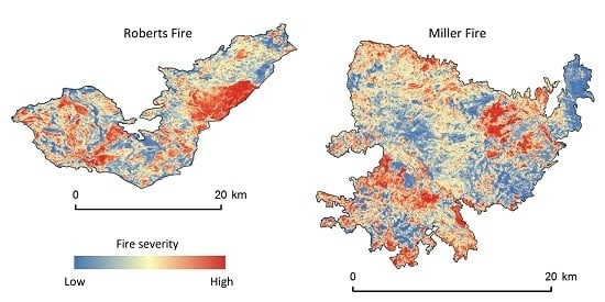
Applications of GEE include, but are not limited to: mapping forest cover, detecting deforestation, classifying land cover, estimating forest biomass and carbon, mapping urban area expansion, population mapping, changes in agricultural production and forecasting, and rangeland dynamics.
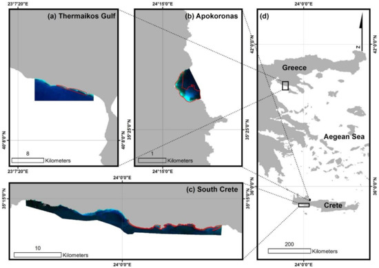
This collection calls for example applications of GEE all over the world and in all disciplines. We particularly encourage articles from developing nations on how the availability of GEE data and processing has enabled new research that was difficult or impossible before. We also encourage papers on issues about using GEE, processing shortcomings, programming, and difficulties in handling data in the cloud atmosphere. Anything to do with GEE is suitable for this collection.
Prof. Dr. Lalit Kumar
Prof. Dr. Onisimo Mutanga
Collection Editors
Manuscript Submission Information
Manuscripts should be submitted online at www.mdpi.com by registering and logging in to this website. Once you are registered, click here to go to the submission form. Manuscripts can be submitted until the deadline. All submissions that pass pre-check are peer-reviewed. Accepted papers will be published continuously in the journal (as soon as accepted) and will be listed together on the collection website. Research articles, review articles as well as short communications are invited. For planned papers, a title and short abstract (about 100 words) can be sent to the Editorial Office for announcement on this website.
Submitted manuscripts should not have been published previously, nor be under consideration for publication elsewhere (except conference proceedings papers). All manuscripts are thoroughly refereed through a single-blind peer-review process. A guide for authors and other relevant information for submission of manuscripts is available on the Instructions for Authors page. Remote Sensing is an international peer-reviewed open access semimonthly journal published by MDPI.
Please visit the Instructions for Authors page before submitting a manuscript. The Article Processing Charge (APC) for publication in this open access journal is 2700 CHF (Swiss Francs). Submitted papers should be well formatted and use good English. Authors may use MDPI's English editing service prior to publication or during author revisions.
Keywords
- Google Earth Engine
- Landsat
- Change detection
- Agricultural mapping
- Urban changes
- MODIS
- Sentinel-2
- Cloud processing
- Google Compute Engine


