Remote Sensing for Maritime and Water Monitoring
A special issue of Journal of Marine Science and Engineering (ISSN 2077-1312).
Deadline for manuscript submissions: closed (10 June 2021) | Viewed by 7551

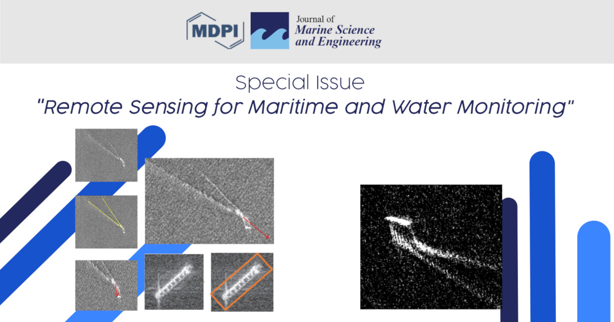
Image courtesy of Gabriele Pieri and Marco Reggiannini
Special Issue Editors
Interests: Image processing for marine environment; multi-source data fusion; environmental decision support systems; marine information systems; machine learning methods; multimedia data integration
Special Issues, Collections and Topics in MDPI journals
Interests: ICT applied to underwater cultural heritage preservation and safeguard; image processing for scene understanding purposes; ICT applied to maritime surveillance purposes; multi-sensor multi-source data analysis and integration
Special Issues, Collections and Topics in MDPI journals
Special Issue Information
Dear Colleagues,
Remote sensing plays a crucial role in the supervision of extended maritime areas. In particular, multisensor multisource imagery is collected daily through satellite platforms moving on earth-centered orbits. This massive amount of data, including optical images and radar maps, can be exploited for relevant purposes, such as the implementation of maritime surveillance tasks. These tasks typically address security and safety issues (vessel traffic monitoring, search and rescue) as well as environmental sustainability aspects (fishery, pollution). Satellite missions also serve the purpose of remotely measuring meaningful properties of the water column (e.g., salinity, turbidity, pollutants concentration), enabling chemophysical surveys of maritime areas of interest. Publications in this Special Issue will aim at composing a comprehensive overview of the several aspects that emerge in the implementation of maritime observation platforms through data processing.
With these topics in mind, among various other subjects, the authors are invited to discuss theoretical issues and methods concerning remote sensing and data processing over the marine and maritime environment (such as software platforms for surveillance or monitoring, processing algorithms for radar or optical imagery, sea-level assessment through satellite altimetry, integrated methods for the observation of the maritime environment, etc.), not excluding application case studies focused on remote sensing within the maritime context.
To this purpose, authors are invited to submit contributions that take into consideration the following topics:
- Maritime data representation, analysis, and learning;
- Ocean observation applied to fishing sustainability or biodiversity;
- Techniques for data processing applied to maritime observation;
- Target detection, classification, and identification in maritime data;
- Marine pollution monitoring along with sea environment monitoring issues;
- Open water analysis and trends based on remote sensing.
Dr. Gabriele Pieri
Dr. Marco Reggiannini
Guest Editors
Manuscript Submission Information
Manuscripts should be submitted online at www.mdpi.com by registering and logging in to this website. Once you are registered, click here to go to the submission form. Manuscripts can be submitted until the deadline. All submissions that pass pre-check are peer-reviewed. Accepted papers will be published continuously in the journal (as soon as accepted) and will be listed together on the special issue website. Research articles, review articles as well as short communications are invited. For planned papers, a title and short abstract (about 100 words) can be sent to the Editorial Office for announcement on this website.
Submitted manuscripts should not have been published previously, nor be under consideration for publication elsewhere (except conference proceedings papers). All manuscripts are thoroughly refereed through a single-blind peer-review process. A guide for authors and other relevant information for submission of manuscripts is available on the Instructions for Authors page. Journal of Marine Science and Engineering is an international peer-reviewed open access monthly journal published by MDPI.
Please visit the Instructions for Authors page before submitting a manuscript. The Article Processing Charge (APC) for publication in this open access journal is 2600 CHF (Swiss Francs). Submitted papers should be well formatted and use good English. Authors may use MDPI's English editing service prior to publication or during author revisions.
Keywords
- Machine learning applied to maritime observation
- Vessel detection and classification
- Marine pollution and biological monitoring
- Multisource multisensor maritime data processing
- Maritime traffic monitoring
- Water quality assessment
Benefits of Publishing in a Special Issue
- Ease of navigation: Grouping papers by topic helps scholars navigate broad scope journals more efficiently.
- Greater discoverability: Special Issues support the reach and impact of scientific research. Articles in Special Issues are more discoverable and cited more frequently.
- Expansion of research network: Special Issues facilitate connections among authors, fostering scientific collaborations.
- External promotion: Articles in Special Issues are often promoted through the journal's social media, increasing their visibility.
- e-Book format: Special Issues with more than 10 articles can be published as dedicated e-books, ensuring wide and rapid dissemination.
Further information on MDPI's Special Issue polices can be found here.


